Digital Exhibition:
Mapping Canada and The RCAF’s No. 408 (Photographic) Squadron
The RCAF Foundation is proud to share our new digital exhibition in collaboration with Google Arts & Culture.
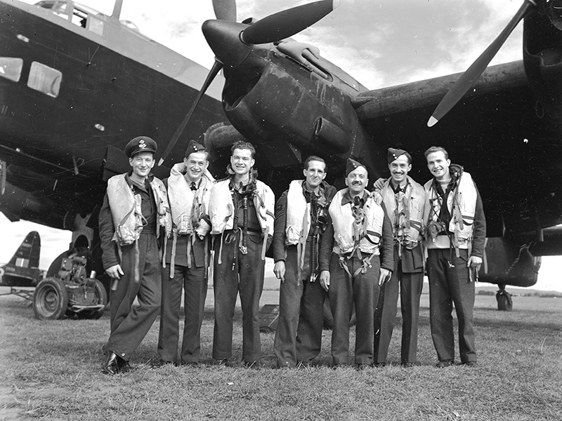
As the Second World War ended, the task of properly mapping Canada began. The RCAF had begun aerial photography and imperfect mapping of Canada. The work was carried out with civilian organizations within the Canadian government. Learn more about Canadian mapping in this digital exhibition:
Stay tuned for future Digital Exhibitions in 2024!
Thank you to Brad St. Croix and to Marta Gocka for their assistance with this project.
0
No. 408 Squadron was formed
0
Squadrons last flight with a Lancaster